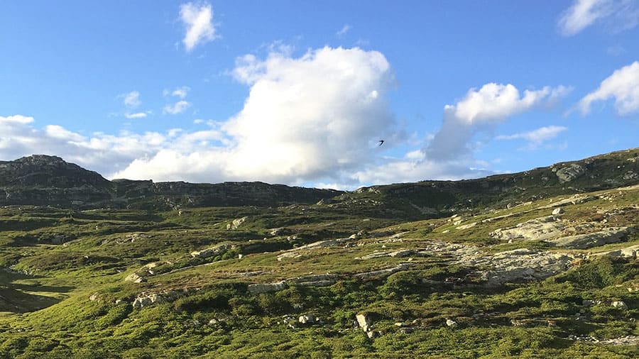

Jøronnatten, standing at an elevation of 1276 meters, ranks among the highest peaks on Lifjell and serves as the quickest access point to the central high mountain region of the range.
| Distance | Difficulty Level | Time (without breaks) |
|---|---|---|
| 12 km roundtrip | Demanding in hilly terrain | 4-5 hours |
About the hike
Explore the western expanse of the Lifjell hiking area with the challenging trek to Røksbufjellet and Jøronnatten. This journey is tailored for those seeking physical exertion amid a backdrop of pristine, untamed nature. Be prepared for high peaks, awe-inspiring vistas, serene fishing lakes, cascading waterfalls, and rugged cliffs.
During winter, experience the thrill of skiing down the steep slope from Langetjønn on a designated snowmobile trail leading to Vihusløypa. Be cautious on the steepest bends, as skiing conditions may require temporarily removing your skis.
How to get to the parking lot
Located at Røytejuvstølen, the parking lot is 11 km from Bø city center (roundabout). Follow highway 36 towards Seljord for 0.4 km from Bø center, then turn towards Oterholt at Statoil. After 2.8 km at Oterholt, take a half-left turn towards Li (Liheia). Continue straight for 5.4 km from Bø center, following the sign to Innleggen (not left).
Navigate the toll road into "Limarka," ascending all slopes to reach the parking lot beneath Røytejuvstølen. Embark on an adventure through the stunning landscapes of Lifjell.